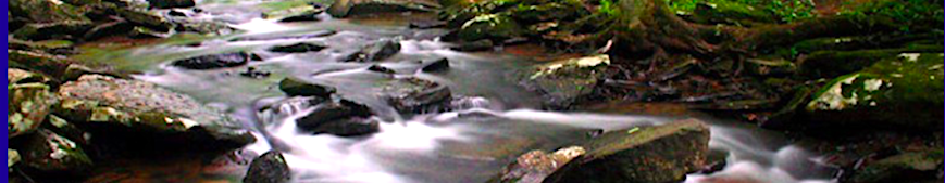
Water Quality

LWA works hard to protect the quality of our water and watershed through research, monitoring and protection.
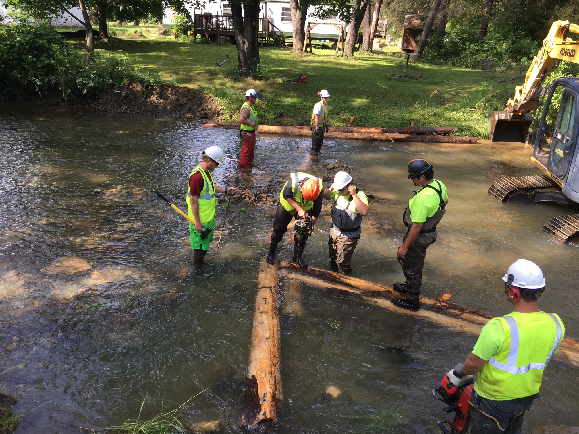
Land Preservation

Our streams are born from the tiny rills. LWA targets key areas of land which are vital to protecting the watershed for future generations.
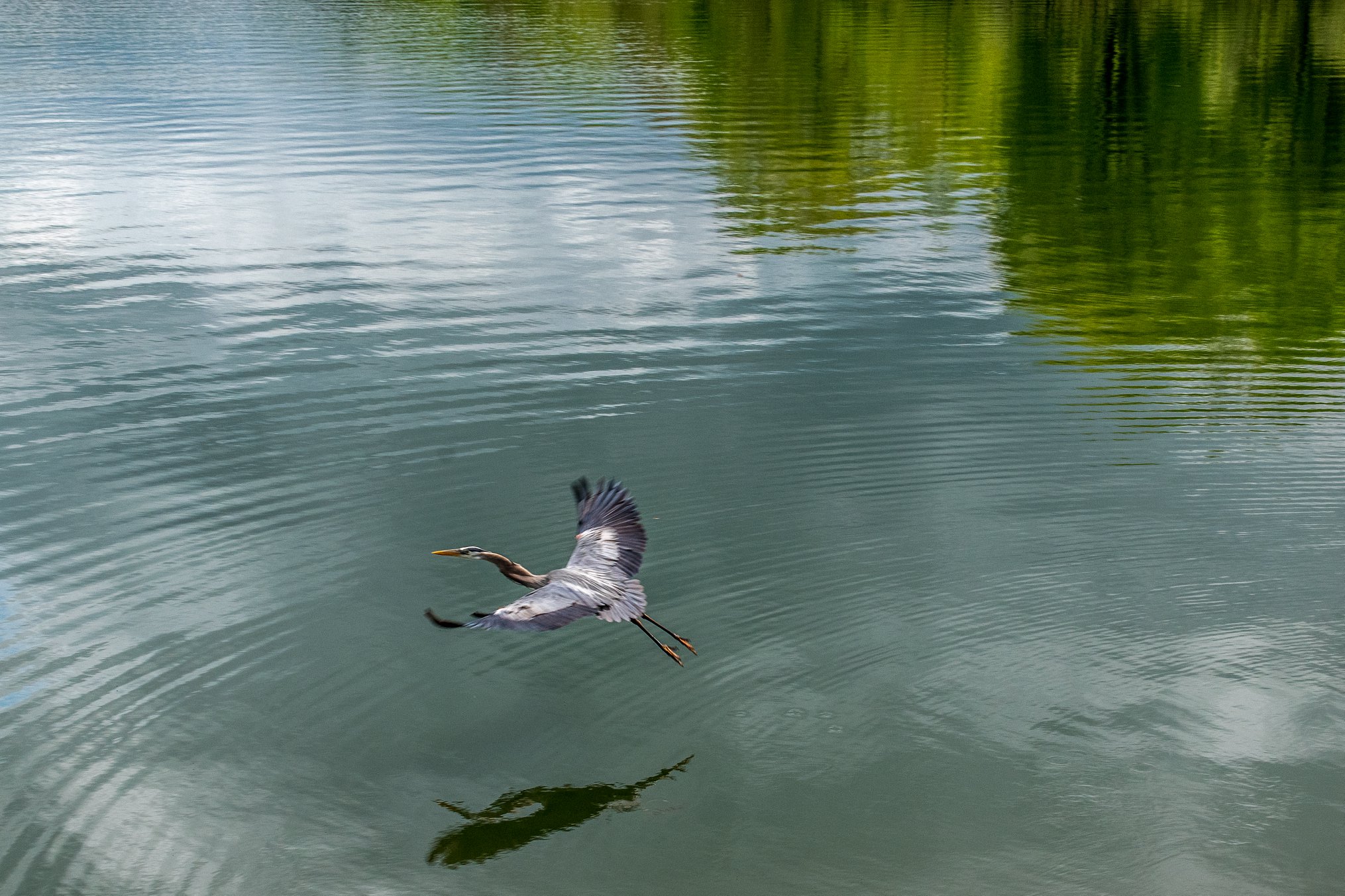
Education & Outreach

Knowing how our natural world works and the free services it provides for us is important to create great stewards of our watershed.